03 / BRIDGE CONDITION MONITORING
Keep bridge observations aligned with structure, environment and inspection.
Bridge monitoring organizes movement, response concepts, component records and changing site conditions over an agreed period.
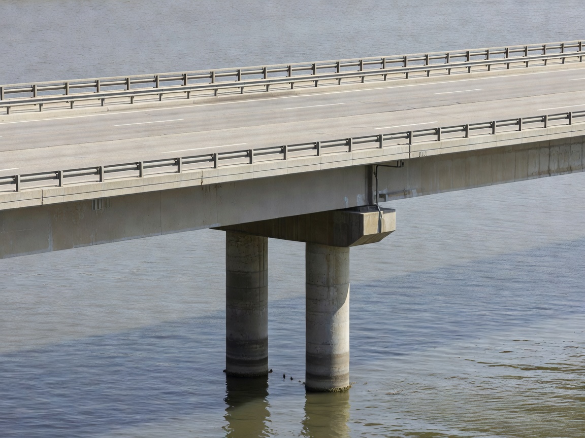
BRIDGE OBSERVATION
Location and context govern the record.
Monitoring objectives may concern deck movement, bearing areas, expansion joints, piers, abutments, deflection, vibration, strain-related indicators or visible condition. The selected locations should relate to the structural question and the access plan.
Environmental effects can include temperature, wind, rainfall, water level, corrosion exposure, traffic and operational loading. Load-related response concepts require careful definition. A change in a record can reflect loading, environment, reference movement, data quality or another influence.
Long-term records are most useful when component names, chainage or location references, time conventions and inspection observations remain consistent. Monitoring should coordinate with existing inspection and maintenance workflows.
Bridge workflow
- Define components. Establish the bridge area, element names, access limits and observation purpose.
- Set locations. Map measurement or observation points with stable references and safe access requirements.
- Capture conditions. Log environment, traffic context, works, water conditions and inspection notes.
- Check records. Review gaps, outliers, clock differences, location changes and method consistency.
- Coordinate reporting. Present trends with inspection information and clearly stated limitations.
Outputs and boundaries
Typical outputs include a component register, location plan, observation schedule, condition photographs, time-series plots, exception records and technical summaries. A report should distinguish observation from engineering interpretation.
Monitoring can improve continuity, identify changes for review and support organized inspection planning. It cannot replace a qualified bridge inspection, structural assessment, traffic control plan or engineering decision.
Limitations include restricted access, changing traffic, water conditions, environmental noise, incomplete historical records and the possibility that a selected indicator does not represent the whole structure.